VichGeographicalBundle
A Symfony2 bundle which provides geographical features for ORM and ODM entities
PHP104
8 years ago
laravel-geoip
Determine the geographical location of website visitors based on their IP addres
PHP2112bsd-2-clause
4 months ago
react-native-geo-fencing
Native modules to determine if a location is within defined geographical boundar
Java140
2 years ago
d3-geomap
A library for creating geographical maps based on D3.js
JavaScript132mit
9 months ago
choroplethchoropleth-mapd3
zenoh-plugin-dds
A zenoh plug-in that allows to transparently route DDS data. This plugin can be
Rust155other
4 months ago
cycloneddsddsedge-computing
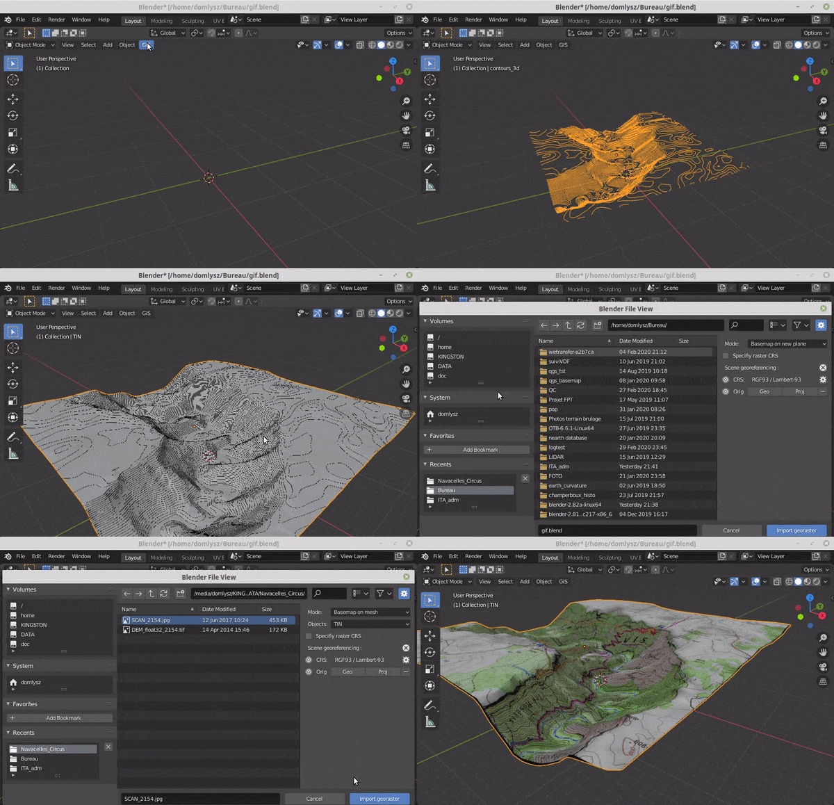
BlenderGIS
Blender addons to make the bridge between Blender and geographic data
Python7801gpl-3.0
6 months ago
3d3d-map3dgis
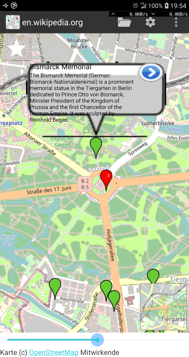
AndroidGeo2ArticlesMap
Find articles from wikipedia/wikivoyage near given geographic location to be dis
Java12gpl-3.0
2 years ago
androidgeolocationgpx
GreatCircle
A concise collection of classes for PHP, Python, JavaScript, Ruby and Go to calc
PHP78mit
3 years ago
CoordinateSharp
A library designed to ease geographic coordinate format conversions, and determi
C#364other
5 days ago
cartesiancelestial-datacoordinate-conversions
open_street_map
Experimental packages for ROS access to Open Street Map information
Python81
2 years ago
GeoFlutterFire
:fire:GeoFlutterFire:fire: is an open-source library that allows you to store an
Dart306mit
5 months ago
dartfirebasefirestore
geopandas
Python tools for geographic data
Python4369bsd-3-clause
4 months ago
geoparquetgeospatialpandas
muzei-nationalgeographic
The National Geographic photo of the day for Muzei.
Kotlin39gpl-3.0
10 months ago
androidmuzeiphotos
redherd-framework
RedHerd is a collaborative and serverless framework for orchestrating a geograph
JavaScript65mit
2 years ago
adversarial-simulationcyberspace-operationsethical-hacking
geoip
The Ruby gem for querying Maxmind.com's GeoIP database, which returns the geogra
Ruby714lgpl-2.1
6 years ago
geotrellis
GeoTrellis is a geographic data processing engine for high performance applicati
Scala1323other
4 months ago
mullvadvpn-app
Description Free the internet from data collection with Mullvad VPN â a ser
Rust5125gpl-3.0
11 hours ago
electronnodejsopenvpn
i3s-spec
This repository hosts the specification for Scene Layers which are containers fo
316other
4 months ago
3dspecificationweb-development


