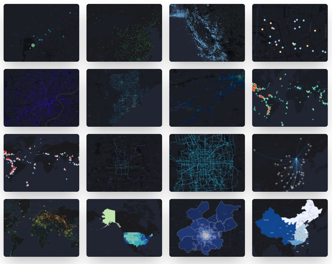
L7Plot
🌍 Geospatial Visualization Chart Library
TypeScript85mit
4 months ago
amap-js-apiantvisdata-visualization

supercluster
A very fast geospatial point clustering library for browsers and Node.
JavaScript2111isc
3 months ago
algorithmclusteringcomputational-geometry
kdtree-rs
K-dimensional tree in Rust for fast geospatial indexing and lookup
Rust222apache-2.0
6 months ago
geo-spatialindexk-dimensional
geonotebook
A Jupyter notebook extension for geospatial visualization and analysis
Python1083apache-2.0
6 years ago
analysisjupyterjupyter-notebook-extension
turf
A modular geospatial engine written in JavaScript and TypeScript
TypeScript9378mit
2 days ago
algorithmcomputational-geometrygeojson
sedona
A cluster computing framework for processing large-scale geospatial data
Java1957apache-2.0
6 days ago
cluster-computinggeospatialjava
grass
GRASS GIS - free and open-source geospatial processing engine
C853other
9 hours ago
arraysdata-scienceearth-observation

3d-tiles
Specification for streaming massive heterogeneous 3D geospatial datasets :earth_
Batchfile2142
11 days ago
3d-models3d-tilesgeospatial
buntdb
BuntDB is an embeddable, in-memory key/value database for Go with custom indexin
Go4472mit
6 months ago
databasegeospatialgolang
go-geom
Package geom implements efficient geometry types for geospatial applications.
Go857bsd-2-clause
3 months ago
2d3ddecoding
geomet
GeoMet - Pure Python conversion library for common geospatial data formats
Python170apache-2.0
last year
esriewkbewkt
osmnx
OSMnx is a Python package to easily download, model, analyze, and visualize stre
Python4889mit
3 days ago
geographygeospatialgis
d3-geo-scale-bar
Displays automatic scale bars for projected geospatial data.
JavaScript44bsd-3-clause
2 years ago
farmvibes-ai
FarmVibes.AI: Multi-Modal GeoSpatial ML Models for Agriculture and Sustainabilit
Jupyter Notebook686mit
30 days ago
agricultureaigeospatial
gdal
GDAL is an open source MIT licensed translator library for raster and vector geo
C++4669other
4 months ago
geospatial-datarasterremote-sensing
h3-go
Go bindings for H3, a hierarchical hexagonal geospatial indexing system
Go293apache-2.0
5 months ago
geospatialgogolang
orientdb
OrientDB is the most versatile DBMS supporting Graph, Document, Reactive, Full-T
Java4740apache-2.0
last month
databasedbmsdocument-database
L7
🌎 Large-scale WebGL-powered Geospatial Data Visualization analysis engine.
TypeScript3673mit
7 days ago
3damapantv
L7Plot
🌍 Geospatial Visualization Chart Library
TypeScript85mit
4 months ago
amap-js-apiantvisdata-visualization
turf_dart
A turf.js-like geospatial analysis library working with GeoJSON, written in pure
Dart70mit
last month
dartfluttergeojson
supercluster
A very fast geospatial point clustering library for browsers and Node.
JavaScript2111isc
3 months ago
algorithmclusteringcomputational-geometry
kdtree-rs
K-dimensional tree in Rust for fast geospatial indexing and lookup
Rust222apache-2.0
6 months ago
geo-spatialindexk-dimensional
leafmap
A Python package for interactive mapping and geospatial analysis with minimal co
Python3225mit
11 hours ago
data-sciencedatavizfolium
turf
A modular geospatial engine written in JavaScript and TypeScript
TypeScript9378mit
2 days ago
algorithmcomputational-geometrygeojson
sedona
A cluster computing framework for processing large-scale geospatial data
Java1957apache-2.0
6 days ago
cluster-computinggeospatialjava

geosnap
The Geospatial Neighborhood Analysis Package
Python248bsd-3-clause
13 days ago
geodemographicsneighborhood-dynamicsspatial-analysis
grass
GRASS GIS - free and open-source geospatial processing engine
C853other
9 hours ago
arraysdata-scienceearth-observation
3d-tiles
Specification for streaming massive heterogeneous 3D geospatial datasets :earth_
Batchfile2142
11 days ago
3d-models3d-tilesgeospatial
buntdb
BuntDB is an embeddable, in-memory key/value database for Go with custom indexin
Go4472mit
6 months ago
databasegeospatialgolang
go-geom
Package geom implements efficient geometry types for geospatial applications.
Go857bsd-2-clause
3 months ago
2d3ddecoding
geomet
GeoMet - Pure Python conversion library for common geospatial data formats
Python170apache-2.0
last year
esriewkbewkt
osmnx
OSMnx is a Python package to easily download, model, analyze, and visualize stre
Python4889mit
3 days ago
geographygeospatialgis
d3-geo-scale-bar
Displays automatic scale bars for projected geospatial data.
JavaScript44bsd-3-clause
2 years ago
kepler.gl
Kepler.gl is a powerful open source geospatial analysis tool for large-scale dat
TypeScript10415mit
14 hours ago
data-visualizationgeospatialkepler
farmvibes-ai
FarmVibes.AI: Multi-Modal GeoSpatial ML Models for Agriculture and Sustainabilit
Jupyter Notebook686mit
30 days ago
agricultureaigeospatial
gdal
GDAL is an open source MIT licensed translator library for raster and vector geo
C++4669other
4 months ago
geospatial-datarasterremote-sensing
h3-go
Go bindings for H3, a hierarchical hexagonal geospatial indexing system
Go293apache-2.0
5 months ago
geospatialgogolang
orientdb
OrientDB is the most versatile DBMS supporting Graph, Document, Reactive, Full-T
Java4740apache-2.0
last month
databasedbmsdocument-database