
assuremappingtools
Desktop based tool for viewing, editing and saving road network maps for autonom
Dockerfile208gpl-3.0
4 months ago

urban_road_filter
Real-time LIDAR-based Urban Road and Sidewalk detection for Autonomous Vehicles
C++279bsd-3-clause
11 months ago
autonomous-drivingfilterlidar
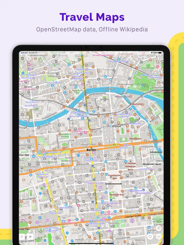
OsmAnd-iOS
Description OsmAnd is an offline world map application based on OpenStreetMap
Objective-C++274other
4 months ago
OsmAnd
Description OsmAnd is an offline world map application based on OpenStreetMap
Java4708other
5 hours ago

react-native-launch-navigator
Description Navigate your world faster and easier with Google Maps. Over 220
Java144
2 years ago

robosat
Semantic segmentation on aerial and satellite imagery. Extracts features such a
Python2010mit
4 years ago
aerial-imagerymachine-learningopenstreetmap

RPFloatingPlaceholders
Description Save on your next trip with the Booking.com app! Find great hotel
Objective-C1128mit
5 years ago

awesome
Description PBS KIDS Games makes learning fun & safe with 250+ educational ga
532cc0-1.0
2 years ago
awesomeawesome-listcraft