

robosat
Semantic segmentation on aerial and satellite imagery. Extracts features such a
Python2010mit
4 years ago
aerial-imagerymachine-learningopenstreetmap
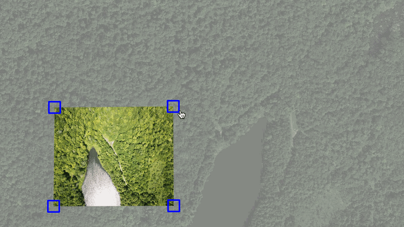
mapknitter
Upload your own aerial images, position (rubbersheet) them in a web interface ov
Ruby267gpl-3.0
5 months ago
hacktoberfest
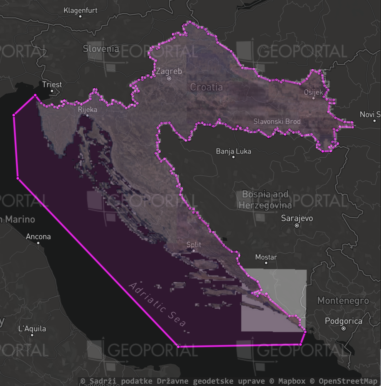
imagery-index
🛰 An index of aerial and satellite imagery useful for mapping
JavaScript27other
last year
aerial-imageryimagerysatellite-imagery
ESVO
This repository maintains the implementation of "Event-based Stereo Visual Odome
C++433
2 years ago

saite
Interactive document creation for exploratory graphics and visualizations. 咲いて (
Clojure138mit
last month
charting-applicationclojureclojurescript


hanami
Interactive arts and charts plotting with Clojure(Script) and Vega-lite / Vega.
Clojure393mit
last month
charting-libraryclojureclojurescript

raster-vision
An open source library and framework for deep learning on satellite and aerial i
Python2033other
4 months ago
classificationcomputer-visiondeep-learning
mapknitter
Upload your own aerial images, position (rubbersheet) them in a web interface ov
Ruby267gpl-3.0
5 months ago
hacktoberfest

techniques
Techniques for deep learning with satellite & aerial imagery
8244apache-2.0
4 months ago
convolutional-neural-networksdatasetdatasets
ESVO
This repository maintains the implementation of "Event-based Stereo Visual Odome
C++433
2 years ago
saite
Interactive document creation for exploratory graphics and visualizations. 咲いて (
Clojure138mit
last month
charting-applicationclojureclojurescript
hanami
Interactive arts and charts plotting with Clojure(Script) and Vega-lite / Vega.
Clojure393mit
last month
charting-libraryclojureclojurescript